Tuolumne Backpack
Published:
Context
Last year in the fall, Mary and I started the tradition of an annual fall backpacking trip with a modified Evolution Basin Loop. On the whole, that trip was a bust — the passes had more snow than we anticipated, I got altitude sickness and was hiking really slowly, and it was a long drive. Despite that bust, we theorized that the basic premise — one final backpacking trip of the season with cool temps, fall colors, and no bugs — was a solid one.
This year, we decided to fix the errors from the previous year: we’d pick a closer destination (something off Tioga Pass) and we’d camp a little bit lower and bring warmer gear. To deconflict with the satellite that I was helping operate, we moved the trip up to the last weekend of September. I managed to snag some permits for Lyell Canyon (Donohue eligible) and scoped out a route that would take us up Rafferty Creek (the same way we had descended on this Sierra ski traverse), over Vogelsang Pass, and back around past Sunrise Wall on the Nelson Creek trail. It was a modest route to address the excessive hiking ambition I’d had the previous year.
Shortly before departing, Charlie McClung decided to join as well. He had quit his job in Seattle, hiked the PCT, and was now trying to figure out his next step. He drove down to Palo Alto from Seattle on Tuesday and on Saturday, we drove up to Yosemite to start our hike.
Day 1
Nothing like an early-morning weekend departure from Palo Alto: roads that are typically congested are free of cars. We left at 5:45 or so and made good time up to the Wilderness Ranger Station in Tuolumne Meadows. There we picked up our permits and the ranger shared some helpful tips: (1) if we see a black bear, remind it that humans are the apex predators by charging it while screaming; (2) don’t put the bear bins too far away from your tent so you can hear the bear trying to eat the food; and (3) if you hear the bear eating the food, you can remember (1).
Fresh from our recent Alaska trips, I was a little surprised to hear this advice. And such advice begs the question — if the goal is to charge the bear, why bother with a bear canister at all? My leading theory is to prevent the bear from getting your food if you walk away from camp
In any event, after eating some food and talking with some chill climbers who lived in Bishop and Reno, respectively, we packed up our bags and began to walk. Tuolumne in the summer is a picturesque spot. Nice creeks, nice trees, and perfect temperature. Walking across the nice Yosemite bridges over clear water running over granite, I reflected that I would have enjoyed such a creek as a kid very much.
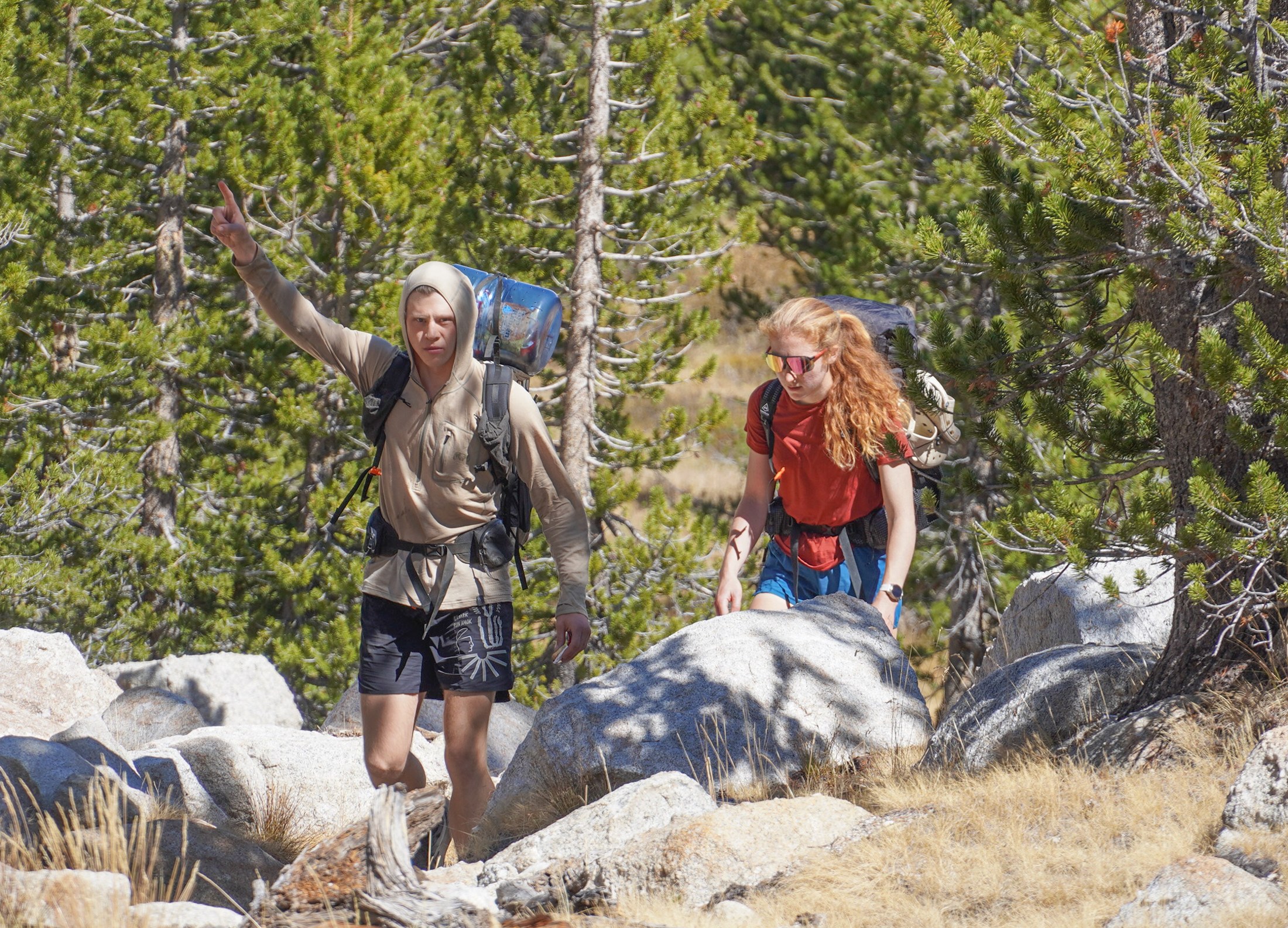 Up Rafferty Creek.
The trail was good and Mary and Charlie provided most of the conversation while I tried to catch my breath in the back. There was a bit of smoke in the air from the Mariposa fire, but the views were still pretty clear.
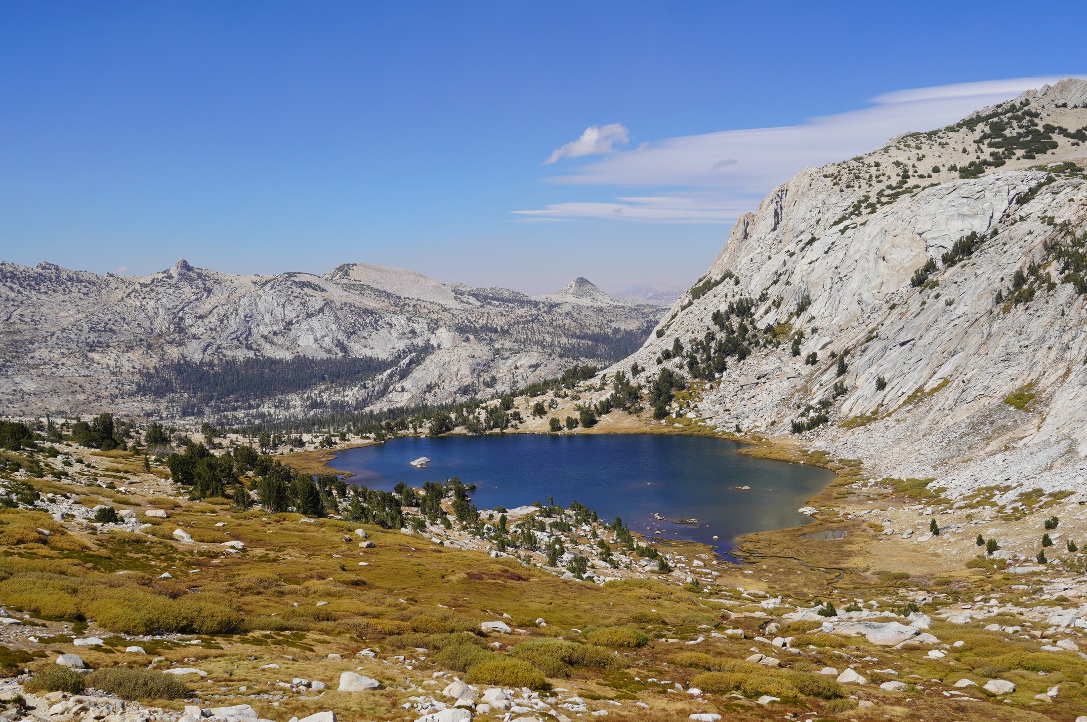 Looking back down towards Vogelsang Lake.
Without too much challenge, we made it over Vogelsang Pass and pitched our tents adjacent to Gallison Lake and then all took short naps before taking our burritos up to a local promontory and admiring the low-angle evening colors as we chowed down on burritos weighing in at a collective 5.5 kg.
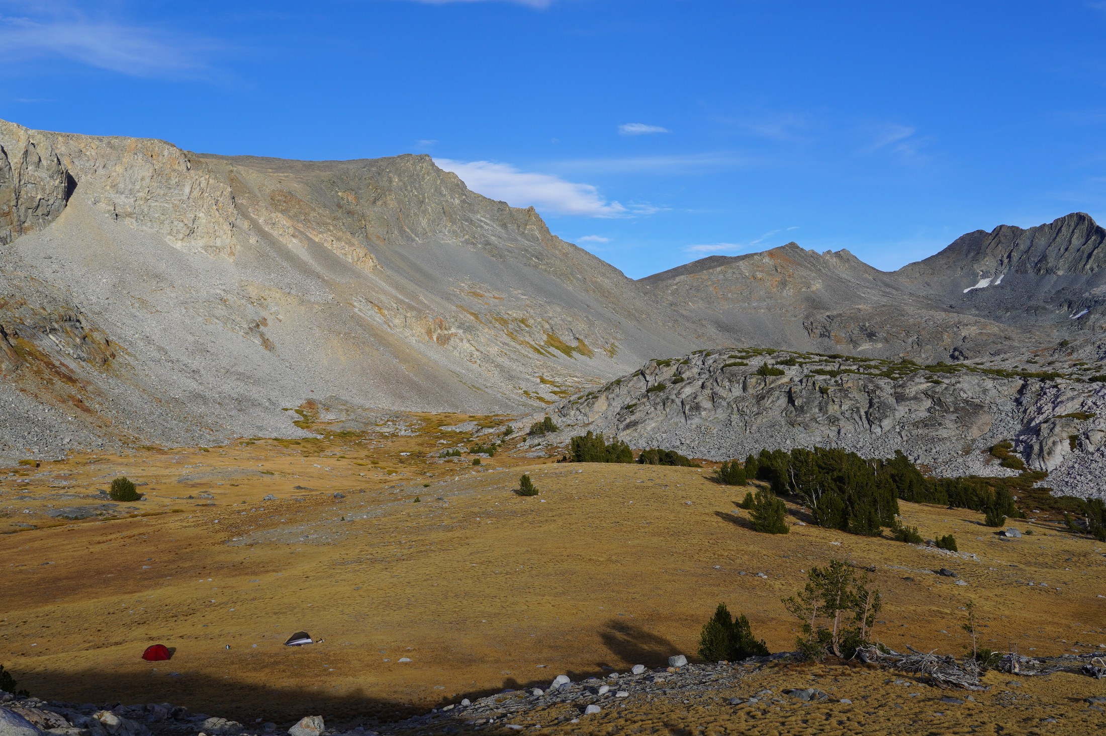 Walking back towards our tents after dinner.
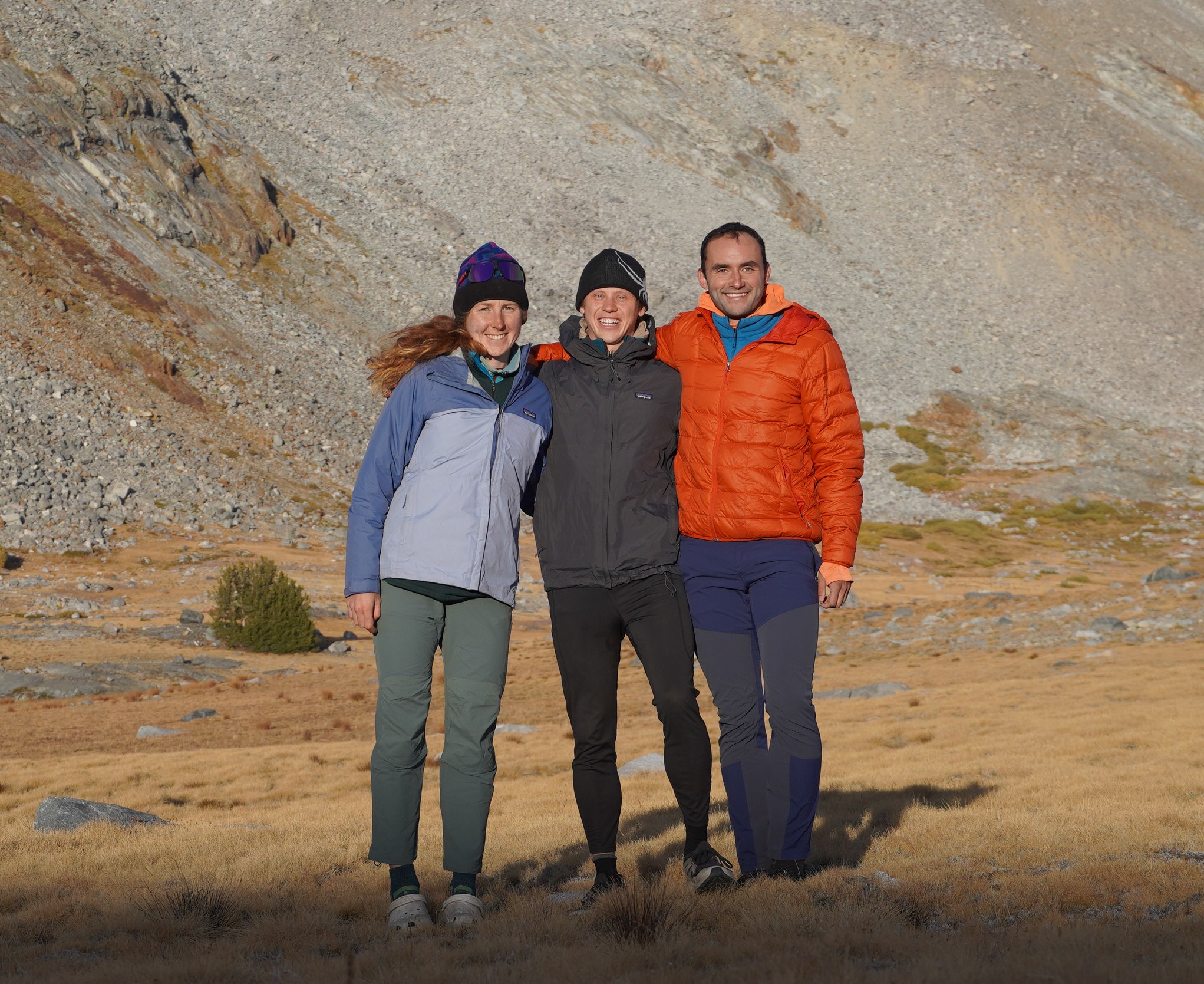 A self timer and the final rays of evening light.
Day 2
Our original plan from Gallison Lake was to hike down the valley past Merced Lake before turning up Echo Creek and walking up towards Nelson Lake (partially off trail). However, there were two downsides to that plan: (1) it would mean walking directly towards the Mariposa fire, whose smoke we had smelled the day before; and (2) it was a reasonably tame route that I had come up with while having flashbacks to our overly ambitious trip the year before.
So, on the second morning, I pitched Mary and Charlie on an alternative: we could hike back up Vogelsang Pass before turning right to go off trail over Parsons Peak, over Amelia Earhart Pass, and then rejoin the PCT on the near side of Donohue Pass. From there we could either have a short hike out to the car on the PCT or we could go for a more ambitious route past Gem Lake and up and over Koip Peak Pass.
Charlie and Mary were both on board, so we packed up the tents, deferred breakfast until the sun rose, and walked up towards Parsons Peak. From afar, it looked like we might have a nasty bushwhack, which made me second-guess the wisdom of this on-the-fly pivot, but as we approached the tight trees, open paths appeared and then we got to the treeline and had a very easy, very open traverse towards Parsons Peak.
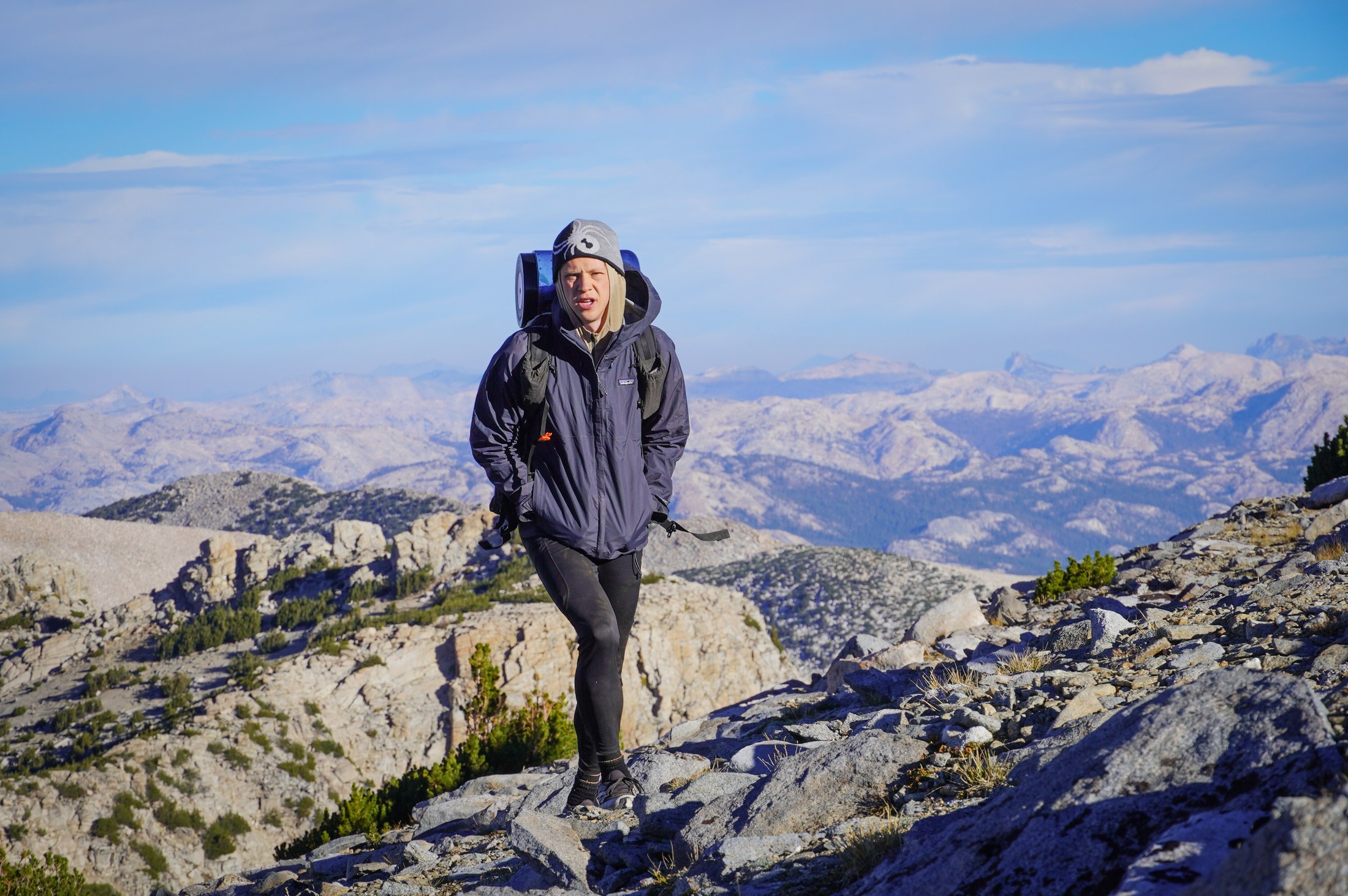 Charlie’s 35L pack required the bear can to be strapped to the outside.
We did not dwell long on the summit because the wind was whipping pretty hard, so we dropped down and then over the very gentle Amelia Earhart Pass down towards a set of very picturesque unnamed lakes.
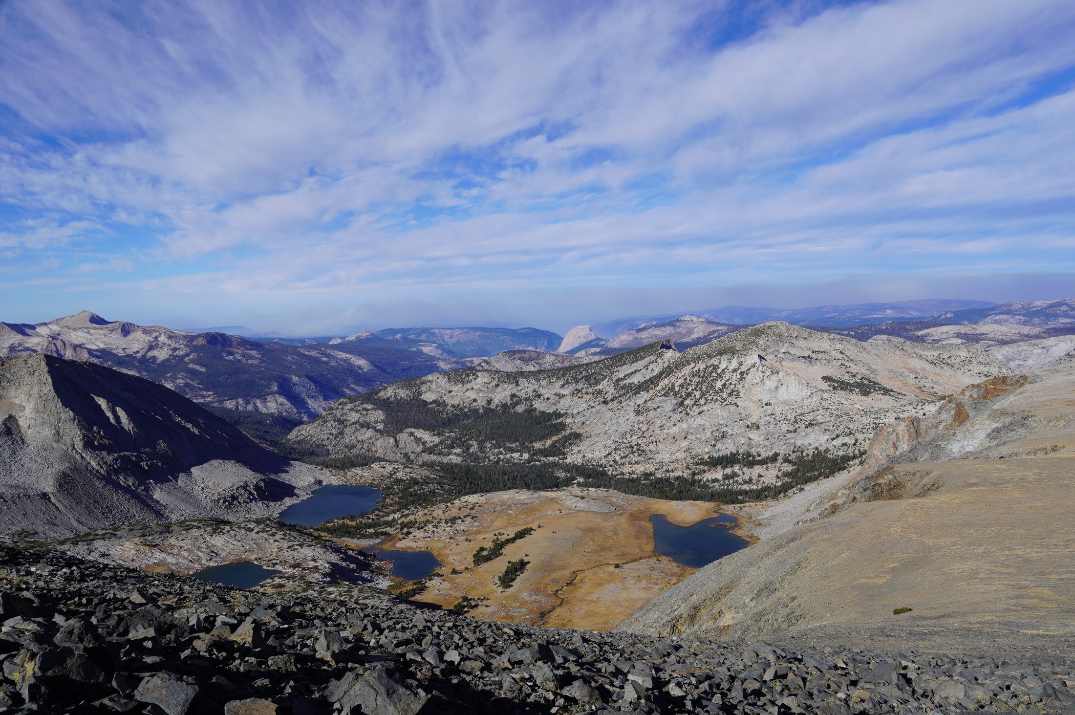 My subjects had foresaken the Parsons Peak summit because of the wind, so I take a photo of the next best thing around: Half dome.
Here we had a moment of conflict on selecting a breakfast spot — my hope was to get to the far side of the lake where we could then sit with our backs to the sun while admiring the lakes. Mary and Charlie were pro stopping at the first decent spot along the lakeshore which they also thought might be better sheltered from the wind. We ended up reaching a compromise of sorts and turned on the Jetboil to heat water for oats. I had put insufficient sweetener in the oats, so I added a serving of hot chocolate as a remedy.
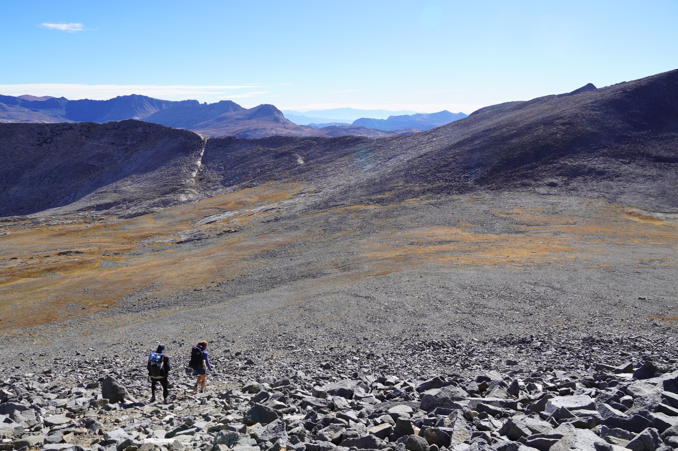 Amelia Airheart’s is a very gentle pass.
We made it to the PCT junction around 1 p.m. or so and stopped for a bite of lunch food (cheese and bread) before continuing up and over Donohue Pass.
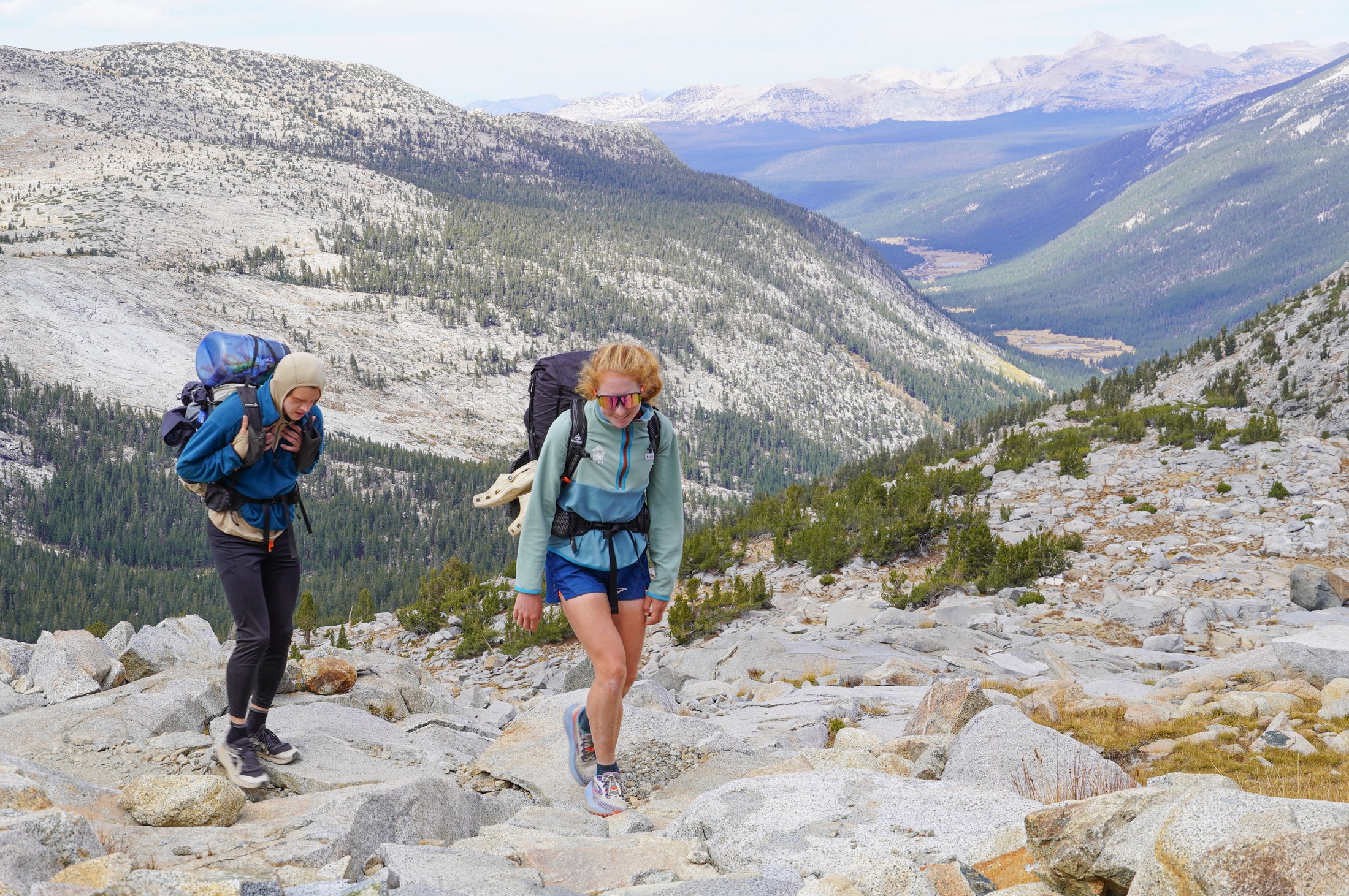 Looking down Lyell Valley.
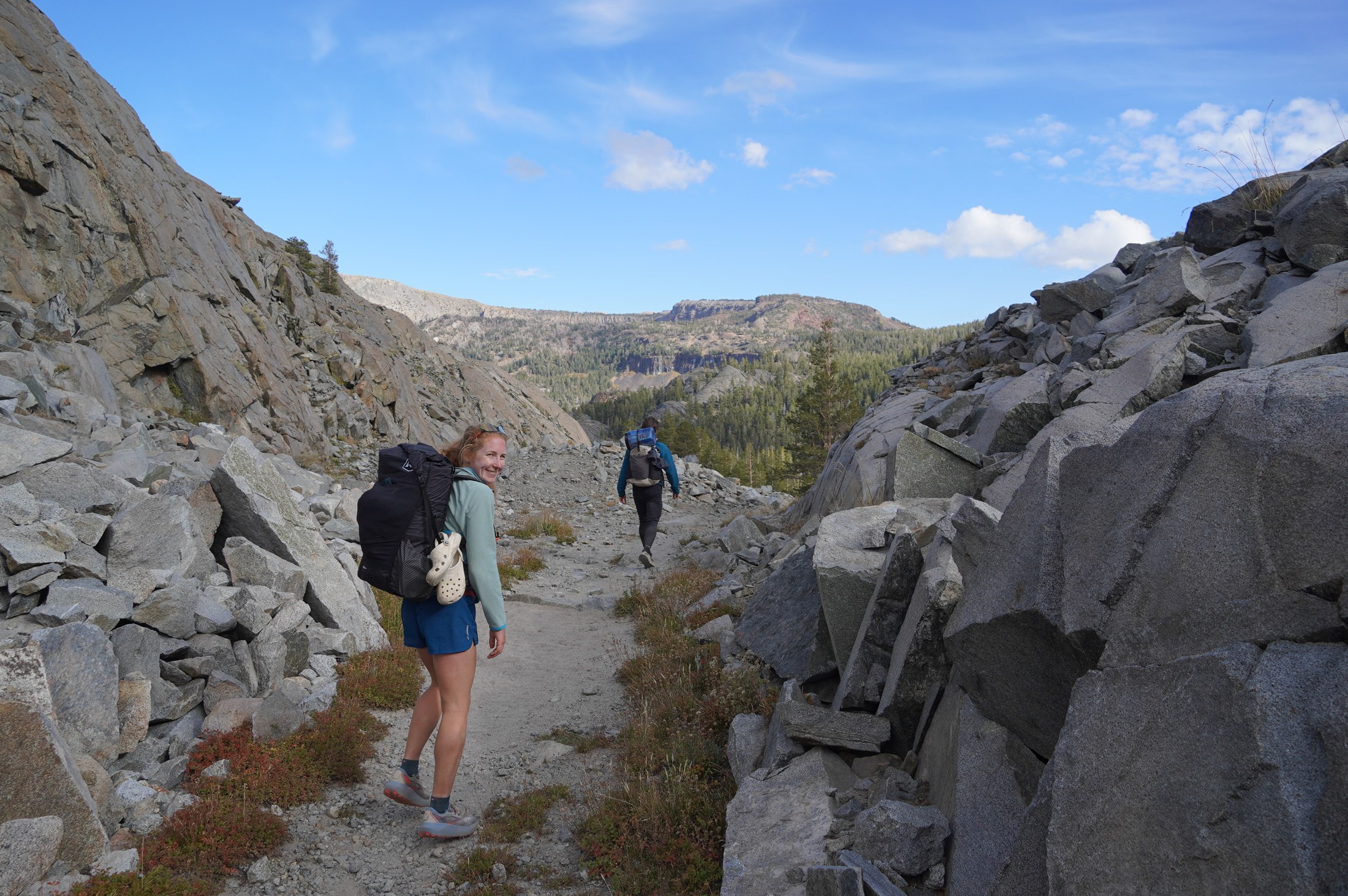 A notch in the rock on the way to Gem Lake.
The morning miles were comparatively slow, but after cresting Donohue Pass, we made quick work of the following miles and made it to our second camp by about 6:30 p.m., making the total miles for the day something like 25. By the time we made camp, the wind was back to really blowing. We found a somewhat sheltered spot, but all the same, I was happy to have the four-season behemoth we lugged on this trip.
We cooked some ramen (very stoked to have carried seaweed and tuna for flavor on this trip) and then snuggled into our tents. The wind didn’t let up until about 2 a.m., which resulted in weird dreams. At one point I dreamed that the satellite I was working on at Cowboy Space launched on a Falcon 9 rocket only to fall back to the earth moments later.
Day 3
We woke to no wind and remarkably warm temperatures. About an inch of snow had fallen the night before, but the cloud coverage kept things relatively warm. We packed up and debated whether we would have any food left when we made it back to the cars (I guessed not) and also debated the expected arrival time at the car (I guessed 2:59 p.m., Charlie 3:00 p.m., and Mary 3:01 p.m.).
From our campsite, we had a reasonably scenic and somewhat slow grunt up to Koip Peak Pass.
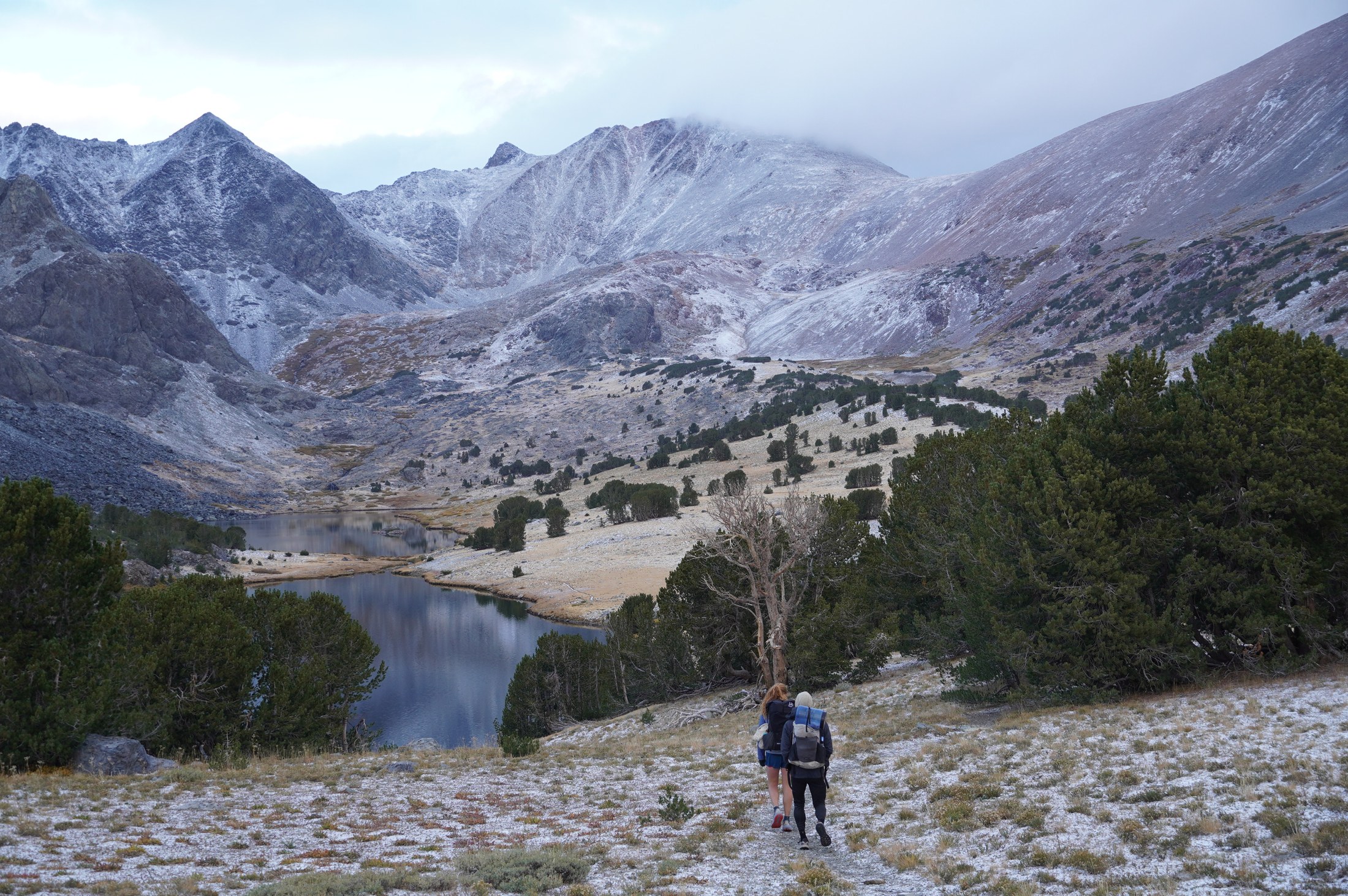 Fresh snow around Alger’s Lake.
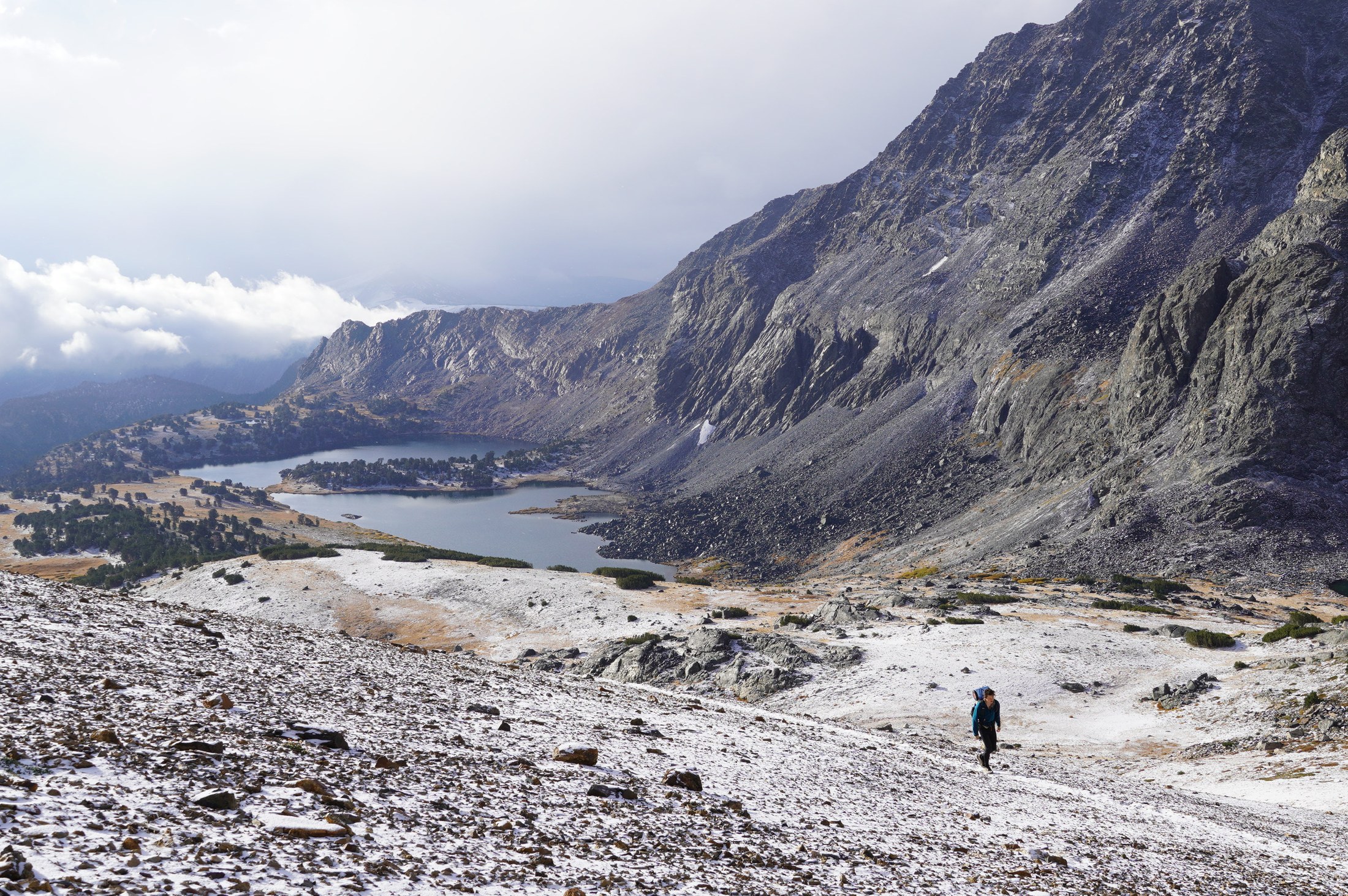 Alger’s Lake from above.
From Koip Peak Pass, clouds moved in, our visibility decreased substantially, and it began to snow.
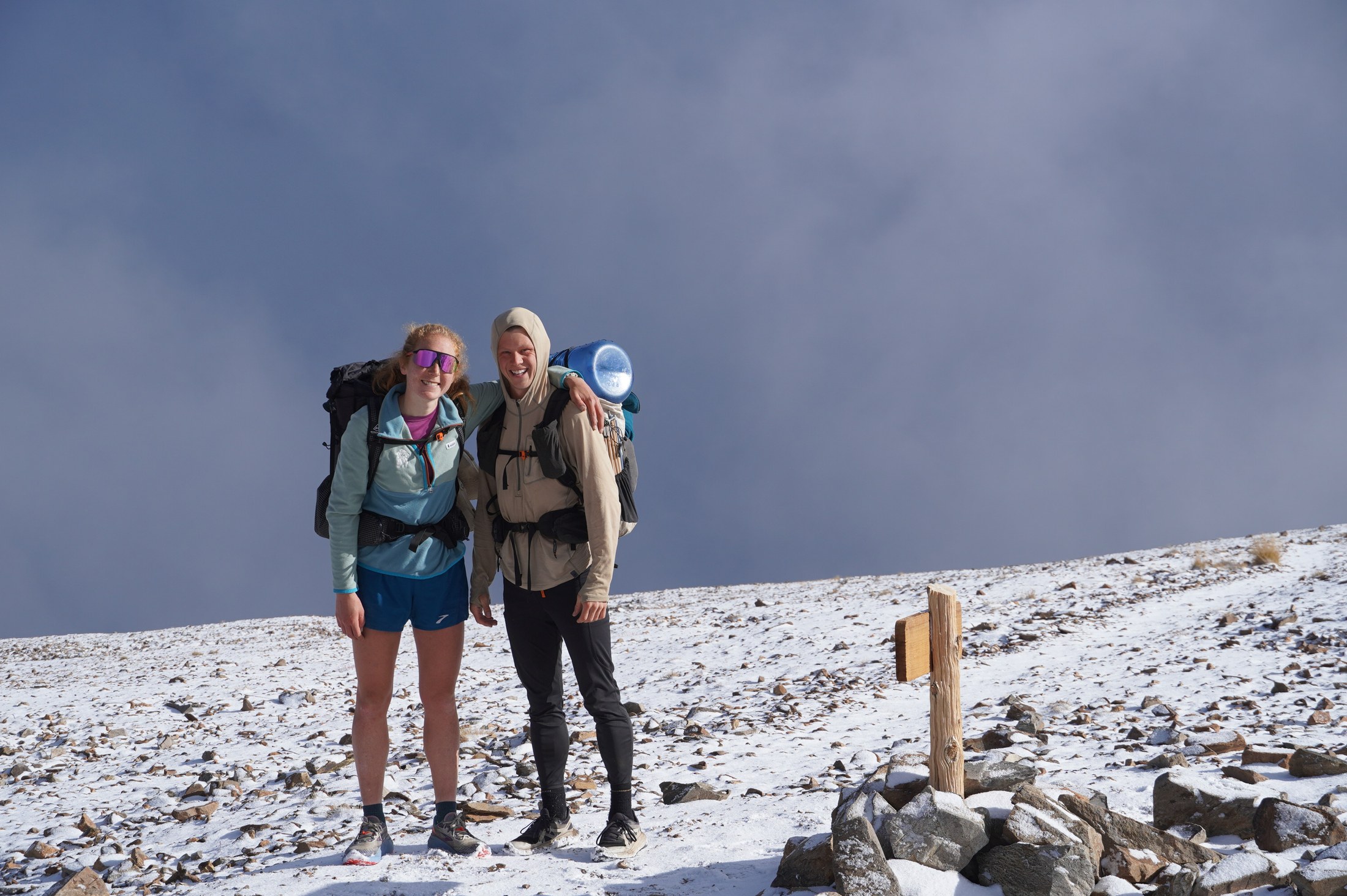 Our final time seeing sun until we make it back to 120.
Charlie forged ahead, Mary stopped to put on two pants layers, and I hiked between the two of them. We regrouped once we made it to a slightly lower elevation and the snow stopped. All in all, the hike out to Highway 120 was quite buttery and straightforward. On hitting the road, I talked to two guys from the East Bay to see if we could get a ride the four miles back to our car. They were willing but would only have room for one of us. As they were adjusting their gear to make room for me, a young fellow came running down the trail. We had seen him earlier near the pass. I inquired if he could take the three of us back to Tuolumne Meadows. He could! We said thanks to the East Bayers and all jumped in our new friend’s Chevy Colorado and booled back towards Tuolumne. We learned our new acquaintance was a ranger in the park and a recent grad from the University of Vermont. Total stoker.
Back at the Prius, we changed out of trail clothes and as I was putting on my sandals, I heard a “Hey Paxton!” and looked up to see one Blaire Hunter walking towards me! Wow, small world! Ben was inside talking to the rangers or taking a pee or something, and he soon joined us as well. It turned out that Ben and Blaire had started in Twin Lakes and were walking towards Half Dome where they would meet some friends from Stanford. And they were looking for a lift. We caught up over the 15 minutes it took to make it to Tenaya Lake and then wished Ben and Blaire safe travels.
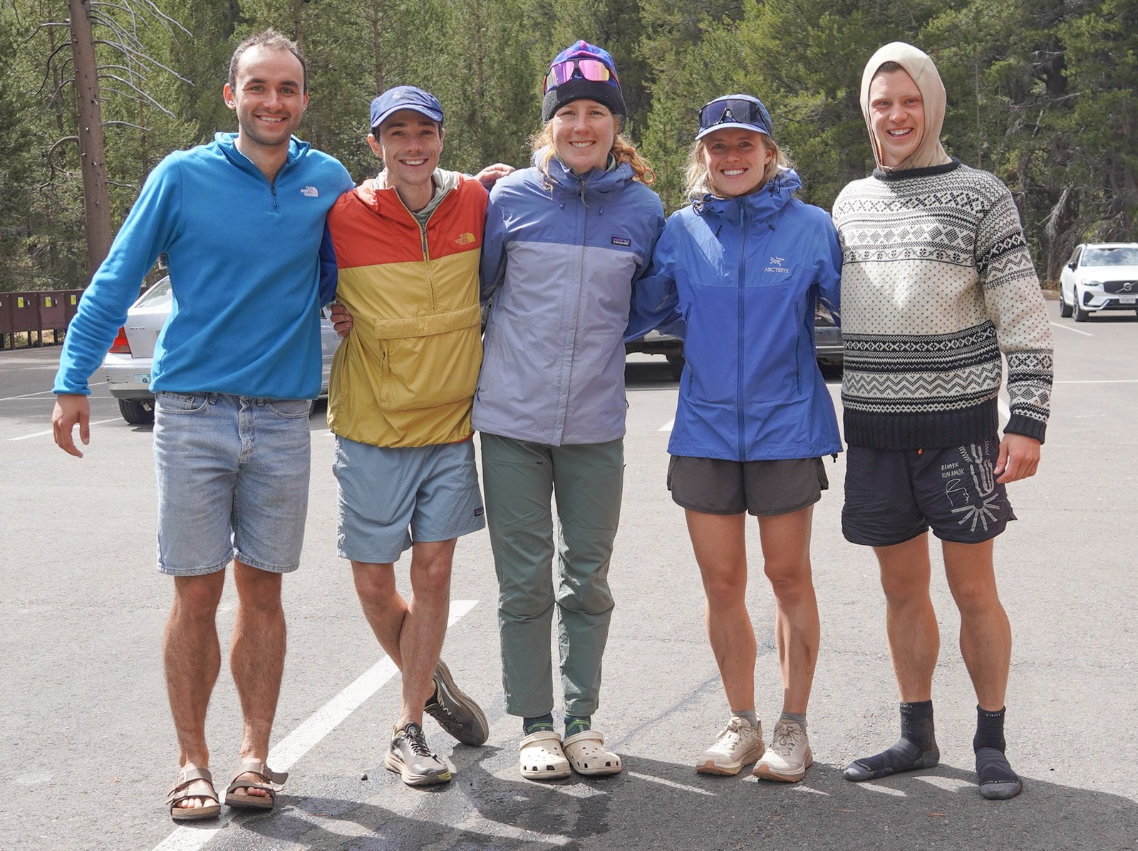 Serendipity!
All in all, a very successful backpacking trip.
Leave a Comment
Your email address will not be published. Required fields are marked *